Kategorie:Cc-by-sa-4.0
Zur Navigation springen
Zur Suche springen
Medien in der Kategorie „Cc-by-sa-4.0“
Folgende 33 Dateien sind in dieser Kategorie, von 69 insgesamt.
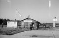
(vorherige Seite) (nächste Seite) Flair Denns Biomarkt Schließung Mai 2024.jpg 1.536 × 2.048; 1,49 MB
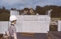
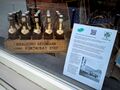 Fundstück des Monats 2024-05.jpg 1.600 × 1.200; 943 KB
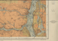 Geologische Karte "Herzogenaurach" (Ausschnitt) 1940.png 1.126 × 787; 2,01 MB
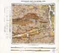
 Geologische Karte "Nürnberg" (Ausschnitt) 1956.jpg 4.888 × 8.213; 12,12 MB
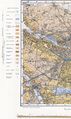
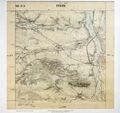
 Geologische Karte (Fürth) 1955.jpg 10.665 × 9.588; 18,11 MB
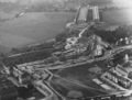
 Industrieflughafen 1950 (2).jpg 4.820 × 3.180; 7,79 MB
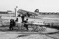
 Industrieflughafen 1950.jpg 4.810 × 3.176; 7,67 MB
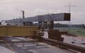
 Kanalbrücke 1968 (2).jpg 4.386 × 2.821; 6,2 MB
 Kanalbrücke 1968 (3).jpg 4.374 × 2.779; 4,95 MB
 Kanalbrücke 1968 (4).jpg 4.344 × 2.809; 2,82 MB
 Kanalbrücke 1968 (5).jpg 4.374 × 2.845; 5,91 MB
 Kanalbrücke 1968 (6).jpg 4.350 × 2.791; 2,87 MB
 Kanalbrücke 1968 (7).jpg 2.875 × 4.374; 2,76 MB
 Kanalbrücke 1968 (8).jpg 4.386 × 2.779; 2,29 MB
 Kanalbrücke 1968.jpg 4.380 × 2.851; 3,13 MB
 Kanalbrücken Rednitztal+SC-Str.jpg 8.393 × 6.384; 10,33 MB
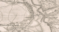
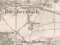
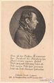 Lewerer 1829.jpg 600 × 913; 187 KB
 Logo FürthWiki withBackground.png 1.298 × 1.302; 322 KB
 Logo FürthWiki.svg 768 × 768; 228 KB
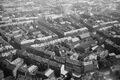
 Luftbild Südstadt 1950.jpg 2.396 × 1.581; 2,58 MB
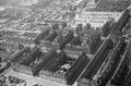
 Luftbild Westliche Innenstadt 1950.jpg 2.399 × 1.591; 2,63 MB
 Natascha Wodin Leipziger Buchmesse 2017.jpg 1.920 × 1.280; 514 KB
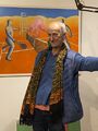 Peter Fidel 2024.jpg 3.024 × 4.032; 1,12 MB
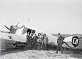 Pillichody und Passagiere 1922.jpg 4.961 × 3.557; 7,5 MB
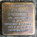 Sigmunde Friedmann Stolperstein Stuttgart.jpg 1.190 × 1.198; 497 KB
 Stadelhof 1832.png 891 × 492; 789 KB
 Tom-Schrade Engagement-Global.JPG 6.666 × 3.750; 6,33 MB
 Topographischer Atlas 1832 (Ausschnitt).png 1.080 × 746; 1,16 MB
 Urpositionsblatt "Fürth" (1863).jpg 4.126 × 3.883; 14,85 MB
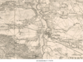
 Urpositionsblatt Herzogenaurach 1860.jpg 577 × 370; 98 KB
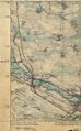 Urpositionsblatt Nürnberg (Ausschnitt) 1862.jpg 701 × 1.131; 309 KB
 Ziegelhütte 1832.png 723 × 540; 638 KB
 Zusammenfluss.jpg 414 × 648; 216 KB


_1940.png)
_1956.jpg)
_1955.jpg)
.jpg)

.jpg)
.jpg)
.jpg)
.jpg)
.jpg)
.jpg)
.jpg)


.png)
.jpg)

_1862.jpg)

